
How to find your way on the Apollo Trails
The whole Apollo Trails network is shown on large network boards in the villages. Along the way, the hiking trails are signposted at every junction and waymarked in white and red, so you can walk with confidence. Here is what each sign means.
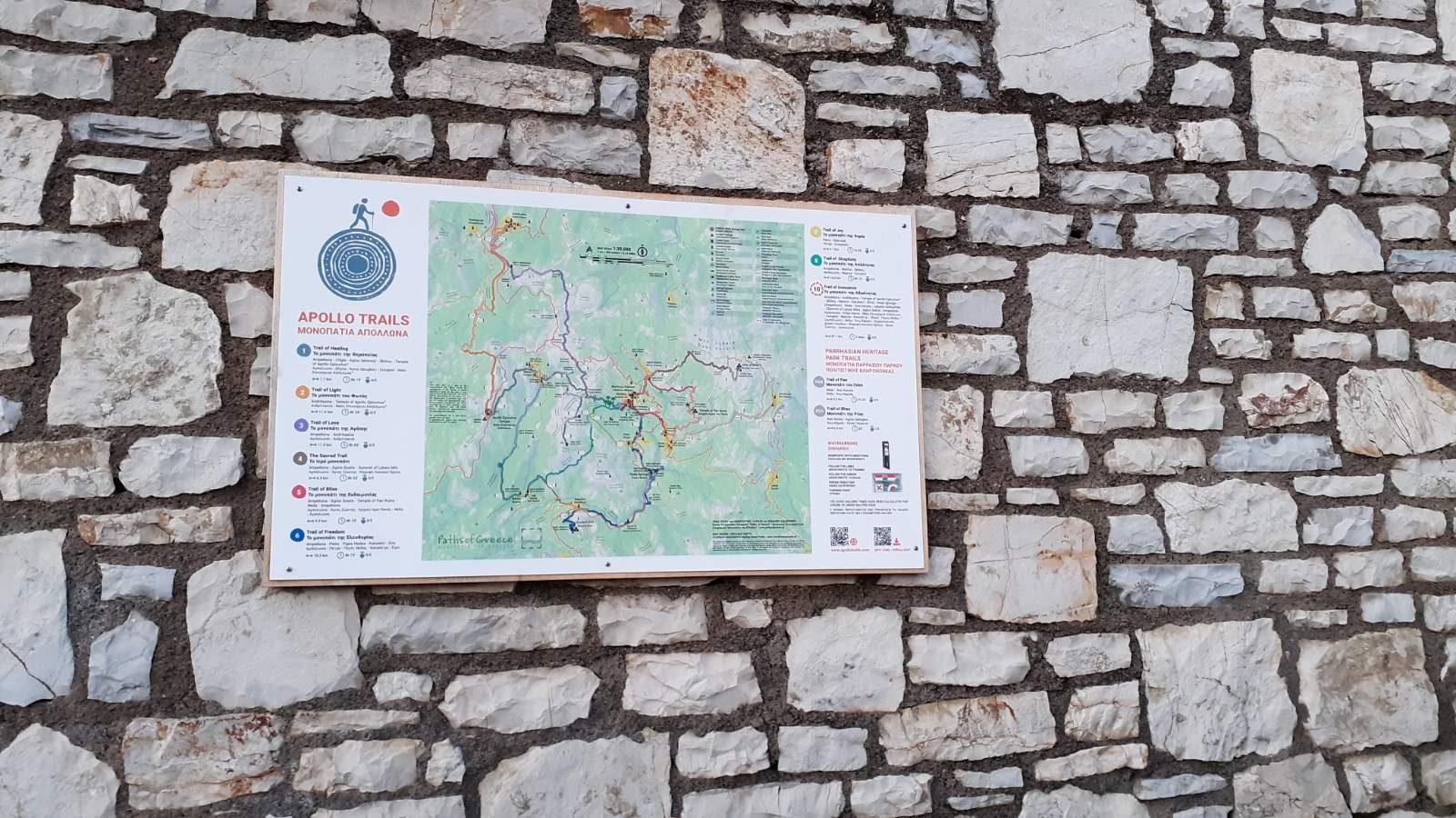
In the villages you will find large network boards with the overall map of the Apollo Trails, showing:
At junctions, wooden posts with white plates show where you are and where each path leads. Every direction plate shows the trail number, an arrow and the destination in Greek and English; some plates also give the distance.
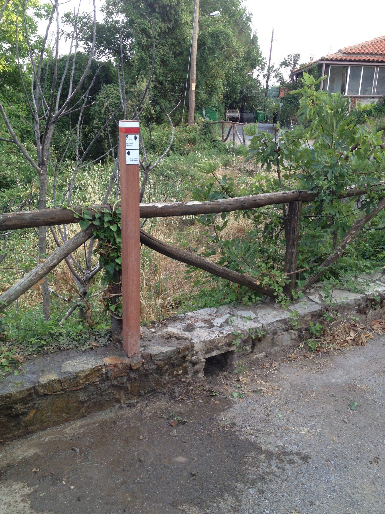
Between junctions, the trail is marked with red and white paint on rocks, walls and trees.
Cycling routes have no signposts or painted waymarks along the way. Use the offline navigation in the Outdooractive app: download the route before you set off and follow it on your phone.
Walk carefully, you walk at your own risk. Mobile signal is patchy in places: do not walk alone.
112Emergency